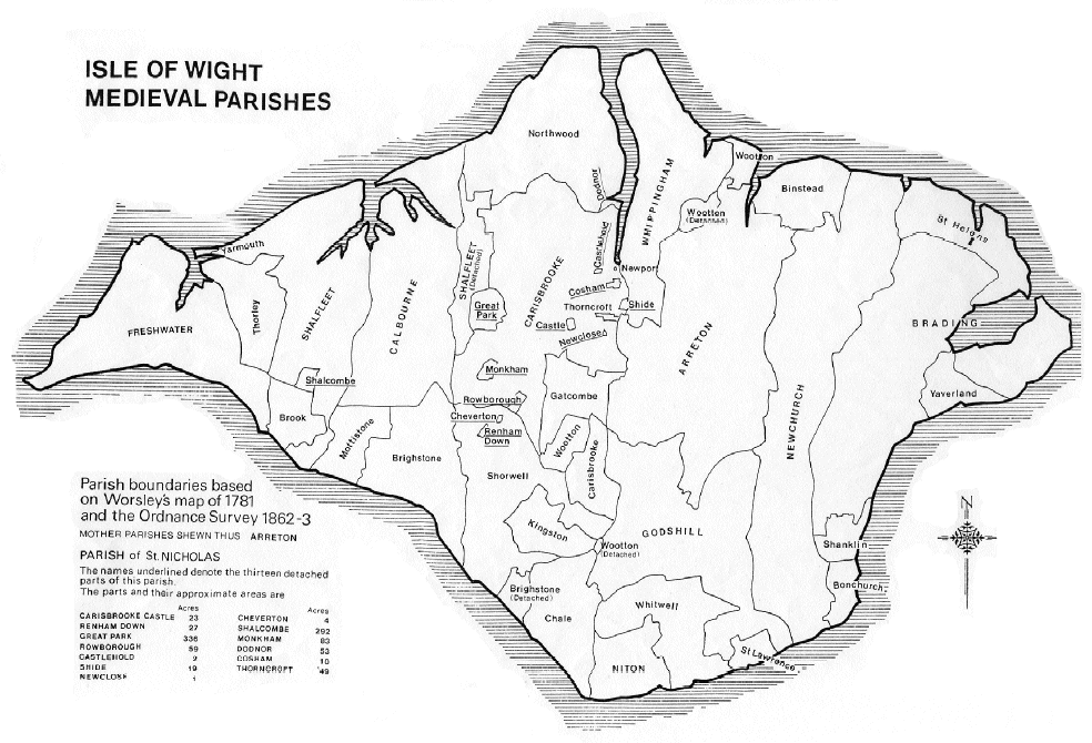
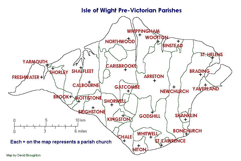
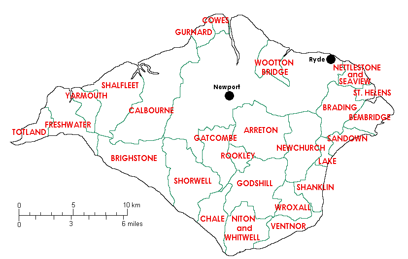
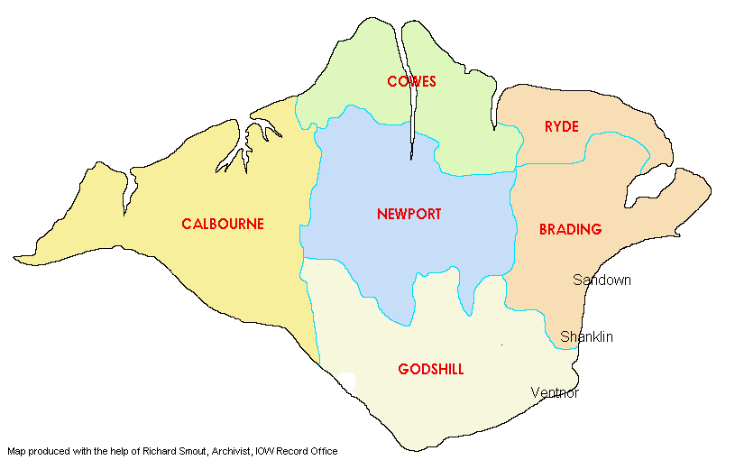
A selection of maps showing the Parish and local administrative boundaries.
Click on the map to enlarge (opens in a new tab)
A selection of links to other resources where you can find maps and other infromation about Island road name changes.
|
Antony Barton has created a document listing his understanding of which Island roads and streets had their names changed. It's a useful source to find the present location of a street named on old Census returns, etc. |
http://www.bartiesworld.co.uk/road-names.pdf |
|
National Library of Scotland A considerable number of OS maps have been digitised by the NLS and are free to view |
National Library of Scotland Maps |
| Google Maps with Streetview |
Isle of Wight |
| Streetmap (zoom to level 4 for OS 1:50,000 scale, and zoom to level 5 for OS 1:25,000 scale) |
Isle of Wight |
| Old Hampshire Mapped and other Historic Resources |
Hampshire maps |
| New Popular Edition Maps OS Maps from the 1940s and 1950s |
New Popular Edition Maps |
| Old Maps Online |
https://www.oldmapsonline.org/ |
| Open Street Map |
http://www.openstreetmap.org/ |
| Most of the above map resources are free, but please note that some may charge for maps, and others have terms and conditions on usage. The IWFHS is not responsible for the content of external websites. | |


